Aerial Mapping of Tree Crop Status
Summary
About the Technology
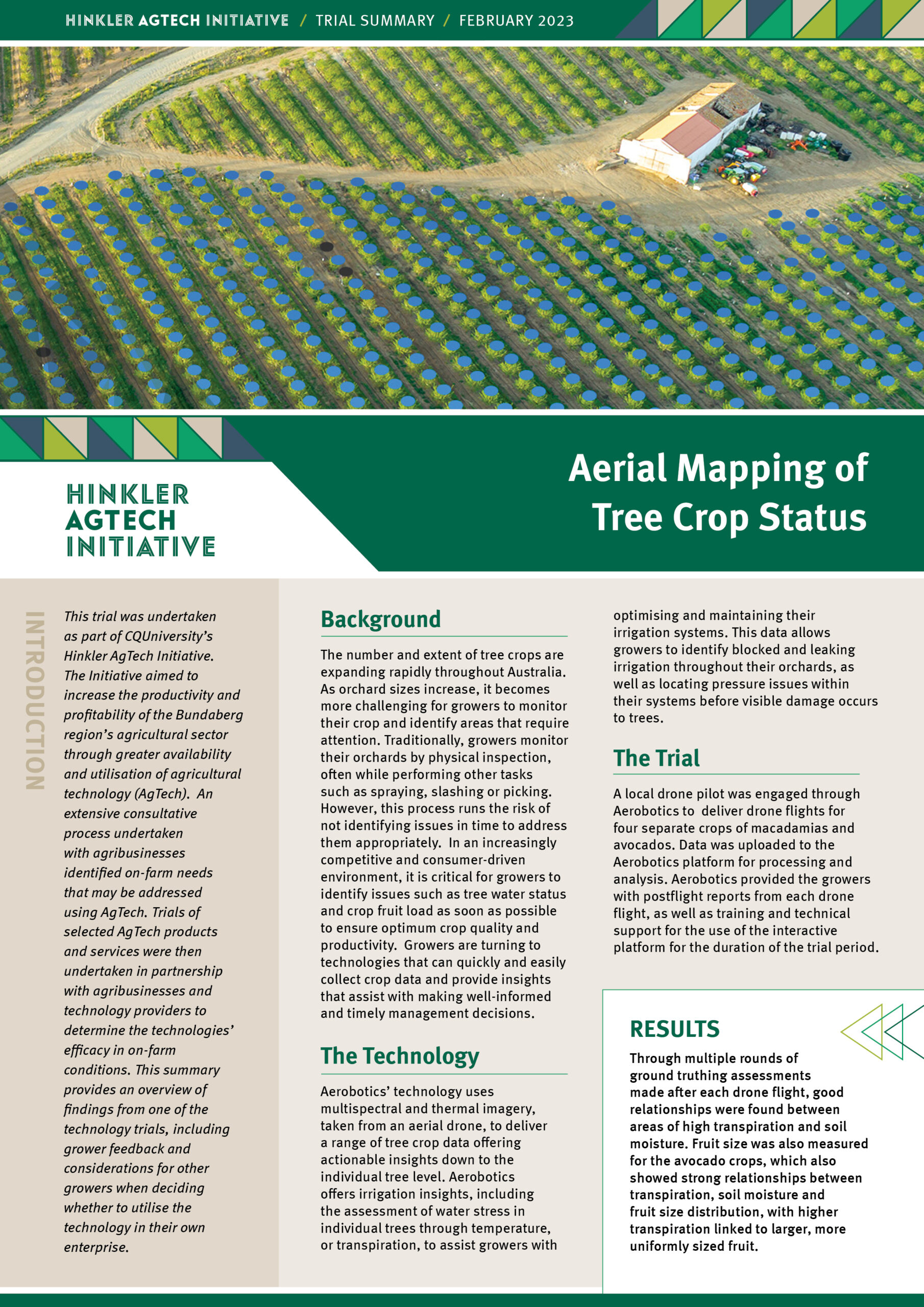
This technology uses multispectral and thermal imagery, taken from an aerial drone, to deliver a range of tree crop data offering actionable insights down to the individual tree level.
The Trial
A local drone pilot was engaged through Aerobotics to deliver drone flights for four separate crops of macadamias and avocados. Data was uploaded to the Aerobotics platform for processing and analysis. Aerobotics provided the growers with postflight reports from each drone flight, as well as training and technical support for the use of the interactive platform for the duration of the trial period.
Overview
This case study provides an overview of findings from the technology trials including:
- Background
- What the technology is
- How the trial was done
- Results
- Cost/benefit analysis
- Grower feedback
- Additional considerations that should be taken into account when deciding whether to utilise the technology
← Back to HAI Case Studies page
Presentation of this case study is for information purposes only. It does not constitute a commercial endorsement by the stakeholders of the Bundaberg Agtech Hub.
Trials conducted by Hinkler AgTech Initiative
The CQUniversity Hinkler AgTech Initiative was funded through the Hinkler Regional Deal. The Hinkler Regional Deal is a collaboration between the Australian Government, Bundaberg Regional Council and Fraser Coast Regional Council.
CQUniversity will not be liable for any damage arising directly or indirectly from reliance on information obtained from this document. It is provided in good faith without express or implied warranty. * All published costs and other details are current as of February 2023.

