Honey Bee Pollination Mapping
Summary
Trial conducted by Hinkler AgTech Initiative.
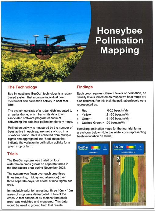
Bee Innovative’s ‘BeeDar’ monitors bee movement and pollination activity in near real time. The system consists of a drone-mounted radar dish which feeds data back to a software program that converts the data into pollination density maps.
This trial involved mapping four watermelon crops on separate farms. Samples were taken to test for correlation between crop yield and pollination activity indicated by the BeeDar system.
As expected there was a good correlation between pollination activity and crop yield.
The BeeDar system could have implications for managing variation in pollination activity which occurs for a variety of reasons including beehive location, structures, tree lines and winds.

